Tech will be the savior


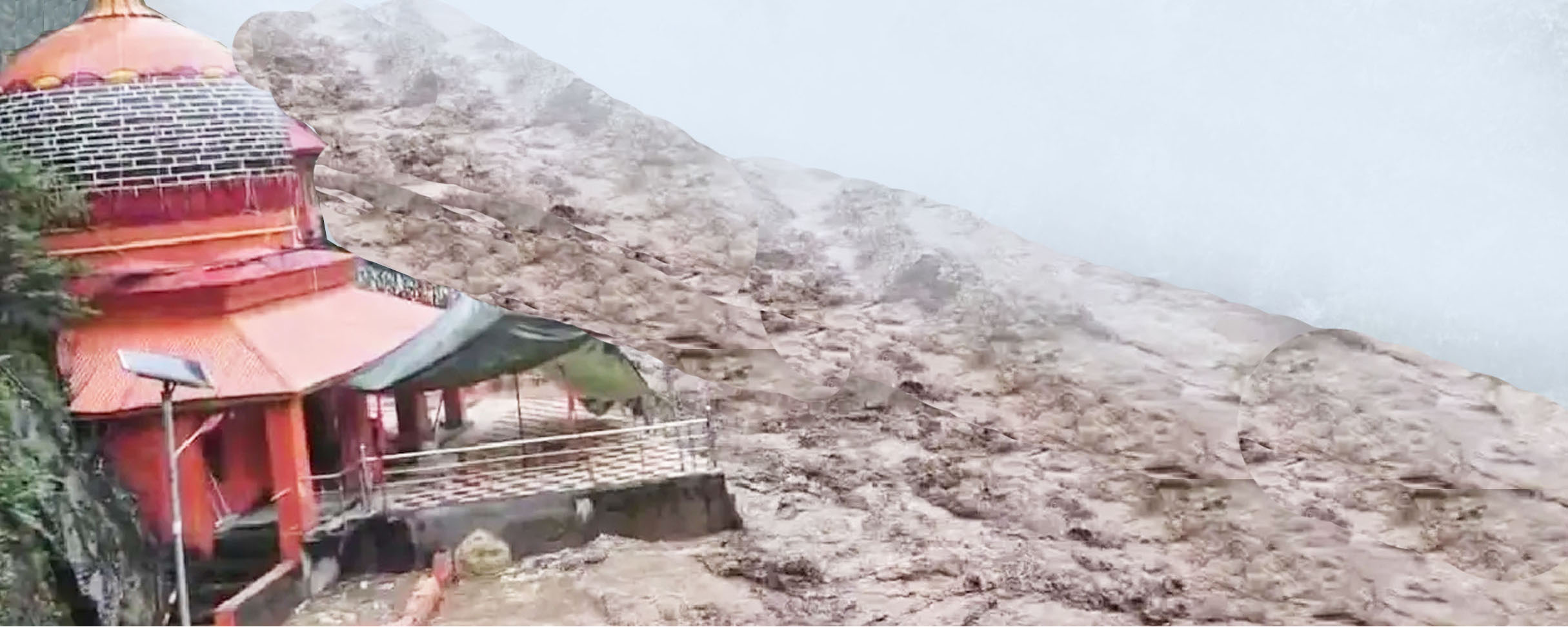
News of cloudbursts from hilly states is common during the monsoon season. Several regions are prone to this disaster—parts of the Western Ghats like Kerala, Maharashtra, and occasionally Jharkhand—but these incidents are almost a regular feature every monsoon in Uttarakhand, Himachal Pradesh, Jammu & Kashmir, and Ladakh. Northeastern states of India, including Arunachal Pradesh, Meghalaya, and Nagaland, are also frequently severely affected. Other countries are not immune to this natural calamity—Pakistan, Nepal, China, Afghanistan, and Japan frequently experience similar events. Pakistan's Buner and Afghanistan's Khyber Pakhtunkhwa have recently been troubled by them. While less common in Europe or America, they too occasionally fall victim. Nowhere are cloudburst incidents as common as in India, especially in the Himalayan regions.
According to data from the National Disaster Management Authority (NDMA), over 150 major destructive cloudburst incidents have been recorded in Uttarakhand and Himachal Pradesh alone in the past decade. These incidents have swept away entire power projects, hundreds of homes, entire villages, hotels, roads, bridges, trees, and claimed hundreds of lives. In this context, the future appears even more ominous because, firstly, the factors exacerbating damage after cloudbursts and flash floods are more pronounced here compared to other regions; and secondly, the International Journal of Disaster Risk Reduction concludes that the frequency and destructive potential of these events are increasing every year.
Cloudbursts are extremely sudden and highly localized events, beyond human control, and precise weather forecasting in small geographical areas is inherently difficult. However, this by no means implies that everyone is helpless against nature's fury and that nothing can be done for protection. The truth is that with the help of science and technology, along with government and public efforts, while it may not be entirely prevented, the damage can certainly be significantly minimized. Undoubtedly, the only reliable solution for tackling future cloudburst disasters will be the development and proper utilization of new technology. Technologies such as radar systems, information and communication technology (ICT), satellites, artificial intelligence (AI), various types of sensors, satellite imaging, and cloud computing can become a strong shield against devastation in this domain.
When the likelihood of such events in the Himalayan regions between July and September is considered established; when it's a known fact that approximately 70 percent of cloudbursts during this period occur in areas between 1000–2000 meters above sea level; and when it's also clear that intense rainfall and cloudbursts are more frequent in regions with lower monsoon rainfall; furthermore, when we have already identified the correlation between humidity, temperature, and rainfall equations—then analyzing the patterns of all these factors and the affected areas to pre-identify high-risk locations is not very difficult. If such vulnerable locations can be identified and proactively monitored, the damage occurring before and after a disaster can be minimized.
Indeed, forecasting cloudbursts hours in advance or providing long-term warnings is not feasible. Nevertheless, with the help of modern radar and satellite technology, its likelihood can be sensed one to two hours beforehand. We possess advanced Doppler Weather Radars and several ISRO meteorological satellites capable of detecting heavy rainfall and cloud formation. Their high-resolution imagery allows for monitoring small-scale cloud activity. They help estimate which areas are prone to cloudbursts, and by analyzing all this data, warnings can be issued a few hours in advance, allowing for the safe evacuation of people from disaster-prone areas. AI-based models can record real-time data on heavy rainfall patterns, humidity, and temperature with greater accuracy, minute by minute. Analysis of this data can provide immediate detection of potential threats. Cloud computing-based data processing greatly aids in quick decision-making. If automated rain-gauge networks with sensors that instantly transmit rainfall data to a central server are established in every village in high-risk Himalayan regions, the capacity for issuing local-level warnings will increase. GIS mapping via drones can identify vulnerable villages even before the monsoon. This can also be used to map settlements, bends, and obstructions on sensitive slopes and riverbanks, enabling solutions to be sought for impending problems before flash floods occur. In this era of AI and communication technology, it is easy to develop community radios and mobile apps in high-risk areas, in addition to siren systems, that broadcast warnings in local dialects.
India possesses adequate basic infrastructure and technology in the field of meteorology. There are 37 Doppler radars and ISRO satellites for providing real-time data on cloud movement and humidity. Warnings for unexpected heavy rainfall can be issued 2 to 6 hours in advance through 'nowcasting'. There are also systems for disseminating information via mobile, radio, TV, and the internet.